Central Okanagan residents, already hit with flooding as a result of overflowing creeks and a record high water level in Okanagan Lake, are being warned another wind storm is on its way and the level of the lake could rise a further 10 to 15 centimetres due to higher elevation snow melt.
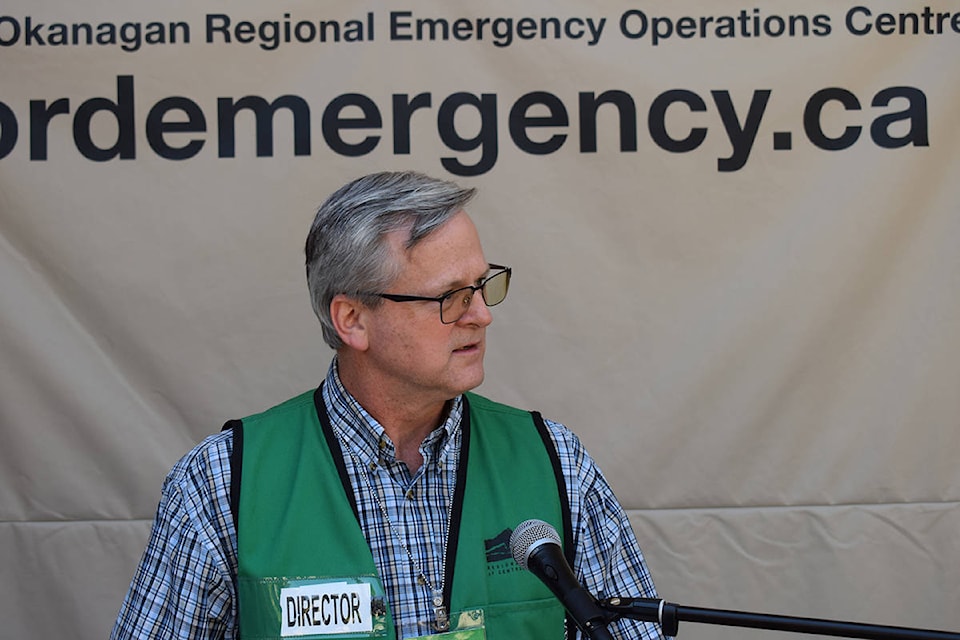
Emergency Operations Centre director Brian Reardon issued the warnings Friday, urging residents living along the lake, near creeks and in low-lying areas to bolster their flood protection.
He said the authorities are adding as much as 15 centimetres to the height of flood protection on public property and private landowners should follow suit.
While variables change daily that could affect lake levels, the EOC felt it was necessary to warn the public “out of a sense of caution,” said Reardon.
On Friday, the lake was just above its historic 1948 level of 343 metres, 10 centimetres higher than it was just three days ago.
“What we do know today is that the temperatures are forecast to stay in the low 30s for the next four to five days and well into next week there is the potential for a significant wind event similar to what we experienced this last Tuesday,” said Reardon. “We’re looking at Wednesday or Thursday for that to be occurring.”
On Tuesday night, a wicked windstorm roared through the Central Okanagan, packing gusts estimated at more than 70 kilometres per hour. Trees came down, some docks were ripped from their moorings on the lake and others were submerged. Power was knocked out to hundreds of homes in the area for several hours.
Reardon said the forecasted wind storm is not expected to be quite as strong as last Tuesday’s storm, but will still pack a punch.
In addition to the wind and the lake level rising, Reardon also said Mission Creek flows are expected to increase significantly over the next five days. Mission Creek is the biggest source of water for Okanagan Lake.
“There is approximately 80 per cent of the snow pack in the higher elevations still there,” he said. “Due to the unseasonably high temperatures, the next few days will be critical.”
He added that with nowhere for the additional snowmelt to go, there is a high potential for “back flow” at the mouth of Mission Creek, meaning water that would normally flow into the lake may back up and cause flooding in the area of the creek mouth, possibly as far back as the Lakeshore Road Bridge in Kelowna.
Todd Cashin, advance planning director for the EOC, said the heat is a two-edged sword for flood officials.
He said on one hand, it is welcome because it will help dry out the water-logged earth in the floodplain, but it also melts snow at higher elevations causing more water to come down the creeks.
What’s needed is a break from Mother Nature in the form of cooler, but still warm, dry weather, he added.
According to Reardon, the official response to the flooding situation in the Central Okanagan over the last three weeks has cost an estimated $3 million so far, with much of it borne by the province through Emergency Management B.C.
The cost, however, does not include the financial impact on private property owners to protect their properties.
The EOC is also advising residents to properly build sandbag walls in a triangular shape for better stability and not lean them up against existing structure because wave action will bring them down.
For more information about flooding precautions go to cordemergency.ca.