Kelowna and the Regional District of Central Okanagan are planning to seek funds from the Union of B.C. Municipalities to map two local creeks with the aim of mitigating future flooding.
Kelowna city council gave staff the green light to apply for funds to conduct the work on Mill Creek, while the RDCO plans to tap the same fund for similar work on Mission Creek.
The UBCM Community Emergency Preparedness Fund provides money for flood mapping, risk assessment and flood mitigation planning by municipalities across the province.
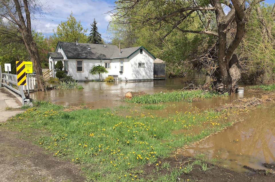
In the spring, Kelowna, as well as other communities along Okanagan Lake, were hit hard by flooding after a larger than normal snow pack melted faster than usual. First it flooded local creeks and then drove up the level of the lake to record levels.
Senior city manager Ron Westlake told council Monday, the city has been working with the regional district on water resource management and if both local governments can get the grants, they will share resources to complete the flood mitigation mapping work.
To report a typo, email: edit@kelownacapnews.com.
<>
awaters@kelownacapnews.com
Like us on Facebook and follow us on Twitter.