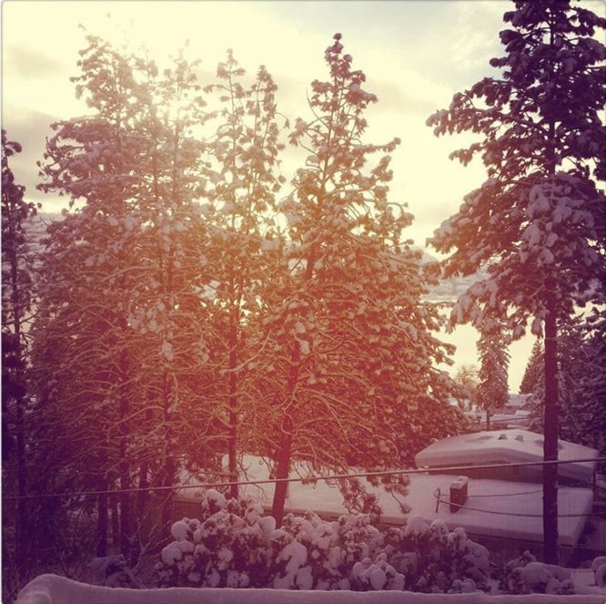
Pull out your toques — winter is finally on its way.
Environment Canada meteorologist Ross McDonald said cold air is set to spread into the valley in the next few days.
"We have a situation with a little snow coming in Friday morning— there will be up to five centimetres, with temperatures getting to 0 C to 1 C — but the real change is Sunday and Monday," he said. "Cold, arctic air from the Yukon is pushing down."
By Tuesday a nighttime low of -10 C and daytime high of -2 C is expected.
"This is our usual shift into winter," he said. "It's been a little delayed."
November was almost balmy, compared to what's typical.
"The average temperature for the month of November, taking into account daytime highs and overnight lows is 6.6 C," said McDonald.
"That breaks our old record of 4.4 C which was set in 2009."
It's also a lot warmer than the norm of 1.6 C, which means the month was running about 5 C above average.
Not only were daytime averages off, there was also a run of warm days unlike what's happened previously.
"Usually in the month of November we only have four to five days of double digit temperatures, but we saw 13 of the first 14 days of November with double digit temperatures," said McDonald. "That's significant."
It's all due to a pineapple express.
There was a southwesterly air that originated from Hawaii, and it meant the west coast and island were hit with a lot of rain," he said, adding that Vancouver even had some flooding from the downpours.
"For those of us in Southern and Central Interior, it was warm November."