Some positive news in the ongoing flood battle.
This morning Environment and Climate Change Canada reported Okanagan Lake is at 343.240 metres above sea level, an eight millimetre decrease from the 343.248 metre level measured yesterday morning.
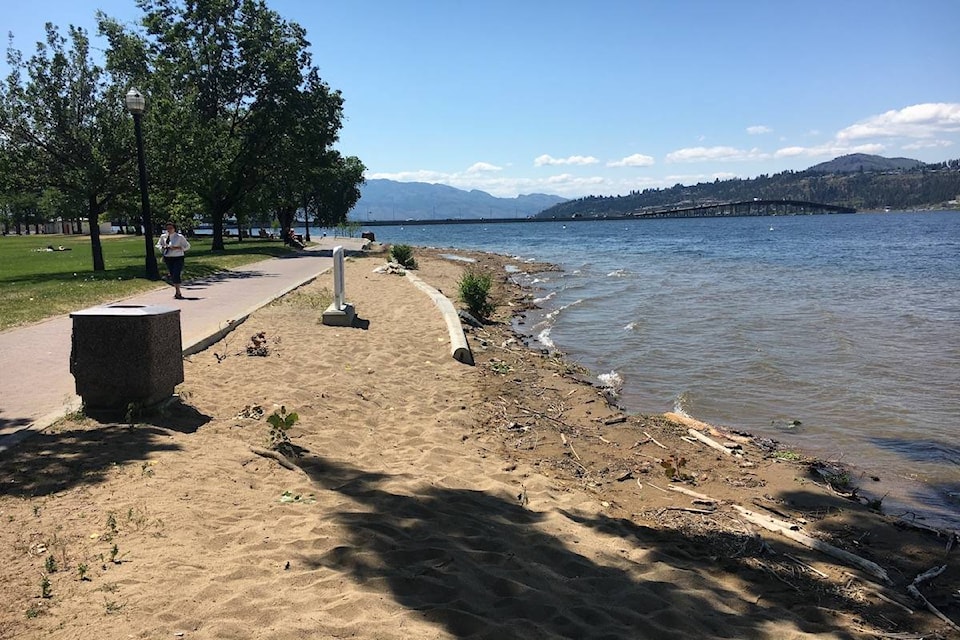
It appears some of the barriers along Okanagan Lake in Kelowna City Park have been removed as well.
The level of Kalamalka Lake this morning was recorded at 392.409 metres, down from the 392.420 metre mark yesterday morning.
An Evacuation Alert for the following properties has been rescinded:
- From 3902 to 3994 Bluebird Road
- From 3814 to 3848 Capozzi Road
- From 3950 to 3970 Lakeshore Road
- From 515 to 599 Radant Road
- From 529 to 579 Truswell Road
- From 3854 to 3882 Truswell road
- One property, at 3896 Truswell Road, remains on Evacuation Alert.
These properties, near the mouth of Mission Creek, are still vulnerable due to the high level of Okanagan Lake and to wave action and property owners should maintain all protective barriers that have been put in place.
Lake levels may fluctuate up and down and ground water continue to increase for a period of time. A small lake level drop may not indicate the peak has been reached. Weather will continue to play a role with heavy rain causing lake levels to rise again.
The lake remains at record high levels and property owners should keep their flood defences in place. Check sandbags daily and if needed, repair, replace and bolster them to ensure adequate buffer and protection. Gusty winds will continue to challenge flood protection measures.
People are reminded to stay off flood protection equipment and stay away from standing water. Jumping or walking on gabions or water dams is a public safety concern and could damage or undermine the device causing ruptures and significant water flows.
Emergency Operations Centre personnel are continuing to assess lake levels and the impact any future weather events may have on the ongoing emergency response. At the same time, planning is underway for actions once lake levels begin to recede and it is safe to remove flood protection measures. Directions for disposal and recovery will be provided once foreshore and infrastructure assessments have been made. Until then, residents should keep all flood defences in place.
All other Evacuation Orders and Alerts remain. Check out the map at www.cordemergency.ca/map and search by address to determine if an area is under alert or order, or to find the closest sand and sandbag locations.
For more information, visit www.cordemergency.ca, sign up for e-updates or call the information line at 250-469-8490.
For municipal information such as boat launch, park and beach closures, and water quality advisories, visit their websites: