The Emergency Operations Centre is using a lake level of 343.5 metres as a planning number for analyzing flood protection measures and residents in impacted areas are advised to do the same. Residents should also ensure protective measures include an additional buffer for wave action.
This will continue to evolve as the snow pack at higher elevations melts - there is approximately 30 per cent of the higher elevation snowpack left in the snow shed that feeds into Mission Creek. Weather events such as warmer temperatures and rain will continue to have an impact. Rain is forecasted beginning Thursday and persisting through the weekend with the potential for five to 10 millimetres per day. High ground water is also continuing to have an impact on properties in areas with high water tables.
The Central Okanagan Regional District EOC has worked closely with senior levels of government over the past month to try and determine planning numbers to use as a guide to protect both public and private property. Lake levels are projections based on predictive modelling. A number of assumptions need to be made and the inputs are variable and unpredictable making numbers a moving target.
Local government crews and BC Forestry crews have been deployed to inspect existing barriers after last night’s high winds, review protection in vulnerable areas and make all required adjustments.
Additional measures are being taken throughout the Central Okanagan as a result of the new planning number of 343.5. Measures include:
Reinforcing critical infrastructure such as water booster and lift stations near lakes in low-lying areas.
New 343.5 maps being developed to place on cordemergency.ca – will indicate potential flood areas as well as low lying areas with high water tables
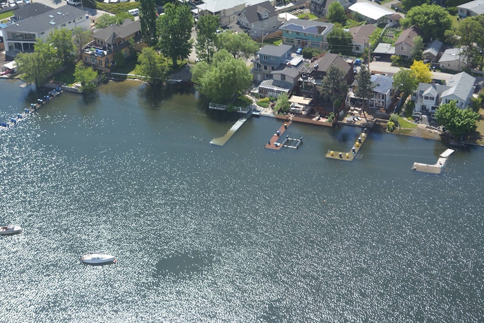
Peachland
Currently surveying Beach Avenue Road to determine exact elevation; additional flood protection will be implemented as required
Kelowna
Additional protective measures
Sandbagging the mouth of Mill Creek due to back water effect was completed yesterday
Reinforcing protective measures near the mouth of Mission Creek due to back water effect
Evaluating the condition of Poplar Point Road, Manhattan Point and Lake Avenue
West Kelowna
Assessing and reinforcing Green and Gellatly Bay areas
Property owners pumping water from structures should pump into natural areas such as nearby creeks, ditches or lawns and not into storm drains or the sanitary sewer system.
All Evacuation Alerts and Orders remain in place. Visit www.cordemergency.ca/map to search by address to determine if an area is under alert or order.
Residents and visitors are reminded to stay off flood protection measures. Jumping or walking on gabions or water dams is a public safety concern and could damage or undermine the device causing ruptures and significant water flows.
For municipal information such as boat launch, park and beach closures, and water quality advisories, visit their websites: