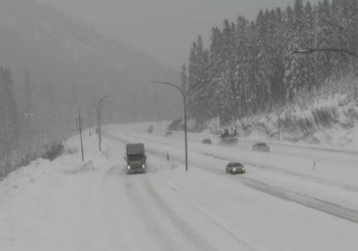
The snow is making the morning commute in the Central Okanagan just a bit more slick.
Snow started to fall at around 6 a.m., and Environment Canada has predicted that there will be flurries throughout the day.
The sun is expected to peek through the clouds at around noon, and the high temperature will be -10 C during the day and the overnight low is expected to be -16 C.
Environment Canada forecasted a cold air mass right through the week; however a frontal system will move down off the coast near the end of the week which will spread cloud — warming the temperatures for the Interior.
Weekend temperatures will hover around -9 C, warming even more by Saturday to -5 C across the Okanagan.
“The cloud will help keep the overnight temperatures from dropping, with lows not dropping past - 10 C overnight by Saturday into Sunday,” said meteorologist Alyssa Charbonneau.
With the warmer temperatures residents in the Okanagan and Shuswap can expect to see flurries on the weekend, but no significant snowfall.
Charbonneau explains while Environment Canada isn’t predicting the forecast past next Monday, it’s anticipated temperatures won’t drop down again to the current -19 C and instead hover between -5 C and -10 C for the week of Jan. 9.
For road conditions outside of the valley, be sure to go to DriveBC.