A special weather alert from Environment Canada is in effect for the entire Okanagan.
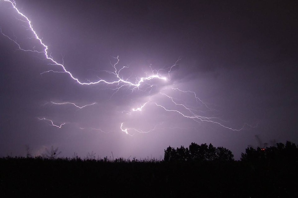
Rain, with embedded thunderstorms, are expect on Thursday over the Southern Interior and combined with spring snow melt it could lead to rising river levels which may increase the risk of flooding.
“Given the fact rivers are already flowing quite high, any additional rainfall will create the potential of flooding,” said Matt MacDonald, meteorologist. “Tomorrow we will see a big change in the weather pattern, a return somewhat to last weeks showers.”
MacDonald said some areas could receive anywhere from 15 to 25 mm of rainfall. Last Friday Penticton received almost half of its average rainfall for the month of May in one day. Flooding was more rampant in the central and north Okanagan with some of the higher elevations in Kelowna receiving up to 40 mm of rain in that same period said MacDonald.
Dave Campbell with the River Forecast Centre said a high-stream flow advisory has been issued for the Okanagan and they are expecting potentially similar types of issues that communities faced last week after the heavy rainfall.
“It will be throughout the region but significant impacts to areas in Kelowna like Mission Creek. Anywhere there is higher elevation terrain feeding creeks and snow melting off there is concern from the south to the north Okanagan and into the Shuswap,” said Campbell.
Quickly flowing water and the adjacent riverbanks are potentially unsafe. The weather statement warns to not approach washouts near rivers, creeks and culverts and to keep away from creek and river banks.
“It is pretty significant in some areas and we are seeing lots of rivers getting one in 10 or one in 20 year flows in some spots. Mission Creek is above 20 year flow level and could be expecting higher into this weekend,” said Campbell.
According to Environment Canada, a developing cold front will stall over the Southern Interior and begin to transition out of the area on Friday. However, they are warning those living in vulnerable areas to be on alert.
“They should be prepared and realize that the heavy conditions we had last weekend might not end just yet. The rivers are very dynamic and there is really saturated soils out there. As well the riverbanks are loosened and unstable, so using caution is really important,” said Campbell.
The River Forecast Centre issues streamflow advisories and warnings when necessary to provide alerts to potential flood conditions in the stream systems of the province. Please refer to the River Forecast Centre website for updated streamflow advisories or warnings.