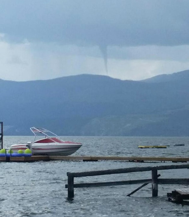
What some thought was a tornado made an appearance in the North Okanagan Sunday afternoon.
A cold-core funnel cloud was spotted over the Fintry area of Okanagan Lake at around 3:30 p.m.
“These are the weak little second cousins of what a tornado is,” said Lisa Coldwells, Environment Canada meteorologist. “They do look like a tornado.”
Although they resemble a tornado, they don’t have nearly the same power and rarely do they ever even hit the ground.
“They might have some winds strong enough to knock over a couple of dead trees,” said Coldwells, adding that they only last about 10 minutes.
Funnel clouds aren’t uncommon in B.C., where the mountains prevent tornados from forming.
“We see them a couple times a year,” said Coldwells of the clouds created by cold lows.
While it is possible additional funnel clouds could be spotted in the near future, it looks as though there is a break in the cooler, showery weather.
Environment Canada is forecasting a mix of sun and cloud Wednesday and a high of 29, followed by sun Thursday and a high of 31 and sun Friday and a high of 30. The weekend calls for highs of 27 and a mix of sun and cloud.
“As we move into next week we can, cross our fingers, hopefully see the start of summer.”
—From Jennifer Smith, Vernon Morning Star
