Environment Canada has issued a special weather statement Monday for:
Central Okanagan - including Kelowna
North Okanagan - including Vernon
South Okanagan - including Penticton
Shuswap
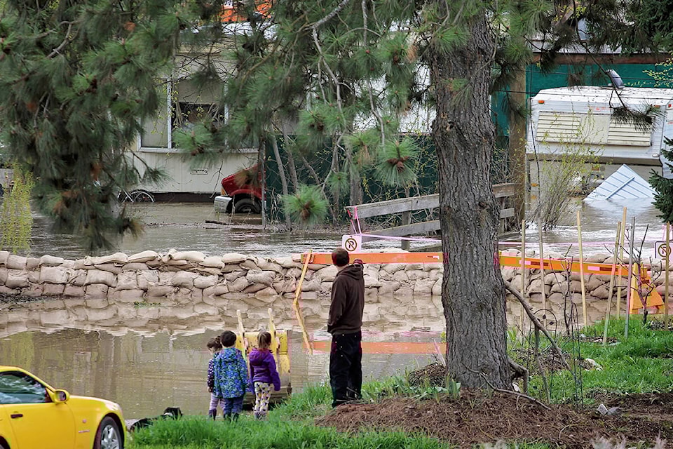
A ridge of high pressure over the southern Interior will remain in place Monday and Tuesday, leading to unseasonably warm weather. This warm spell will accelerate snowmelt and lead to rising rivers, possibly causing concerns related to flooding.
This will be followed by a cool-down accompanied by strong winds Tuesday night and Wednesday as a cold front quickly moves across the province and sweeps southeastward across the central Interior during the day Tuesday, likely reaching the south Tuesday night. There is also a risk of thunderstorms.
Strong winds combined with high water levels could result in increased wave action that may impact shorelines and lakeside roads. The saturated ground also increases the chances of downed trees in strong winds.
Quickly flowing water and the adjacent riverbanks are potentially unsafe. Don’t approach washouts near rivers, creeks and culverts.
The B.C. River Forecast Centre issues streamflow advisories and warnings when necessary to provide alerts to potential flood conditions in the stream systems of the province. Refer to the River Forecast Centre for updated streamflow advisories or warnings. http://bcrfc.env.gov.bc.ca/warnings/index.htm.
Continue to monitor alerts and forecasts issued by Environment Canada. To report severe weather, send an email to ec.tempetepacifique-pacificstorm.ec@canada.ca or tweet reports using #BCStorm.