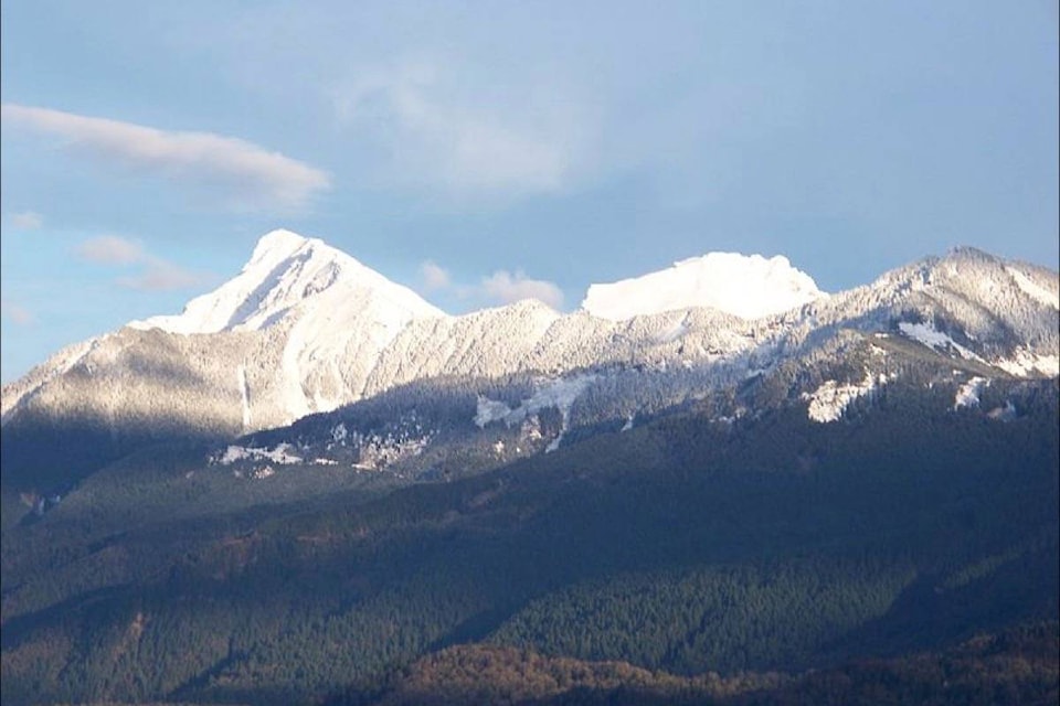
Much of B.C. could see flooding from smaller rivers and creeks as more snow accumulates on B.C.’s mountains, according to the River Forecast Centre.
On April 1, the province’s snowpack sat at 127 per cent, and since then, hydrologist David Campbell said officials have seen a five- to 15-per-cent increase.
“We’ve seen those snowpack numbers come up,” Campbell told reporters in a teleconference Monday. “We have seen ongoing snow accumulation, particularly in areas which already had very high snowpack.”
READ MORE: High snowpack could lead to floods in wildfire-ravaged B.C. interior
That’s a concern for the Interior, where wildfire-ravaged terrain has trouble soaking up excess water.
Much of the Interior and south coast has seen temperatures reaching into the low to mid-20s this week.
“It’s fair to characterize those as well below regular temperatures,” he said, but if the weather pattern continues, parts of B.C. could see flooding.
Snow usually begins to melt on B.C.’s mountains in mid-April, but this year it’s been delayed by two to three weeks in some regions.
A more gradual melt is preferred because it allows the rivers and their smaller creeks to absorb the excess water.
“This certainly has the potential to cause high flow conditions, or problematic conditions, particularly in small tributaries in the southern Interior,” said Campbell.
Like us on Facebook and follow us on Twitter.