Brace yourselves. The icy grip of winter is expected to last a couple more days.
Overnight temperatures dipped to -17.1 C in Kelowna in the early hours of Monday, which is closer to a record set on this day in 1986.
The official record was set then at -19 C.
Although that may be the coldest day the Okanagan will face, the arctic air-mass that moved into the province is going to stick around.
“The worst of it is here through to midweek and the models are showing a slight warming trend,” said Lisa West, meteorologist with Environment Canada.
High temperatures aren’t expected to rise above 0 C until the weekend and night-times lows are to be in the negative teens.
“As we get toward the weekend, we have some weak disturbances moving across the province bringing sun and cloud,” said West.
By the weekend, however, there may be some snow, with flurries and the cloud cover will mitigate nighttime low temperatures.
The snowfall expected won’t reach this weekend’s depths.
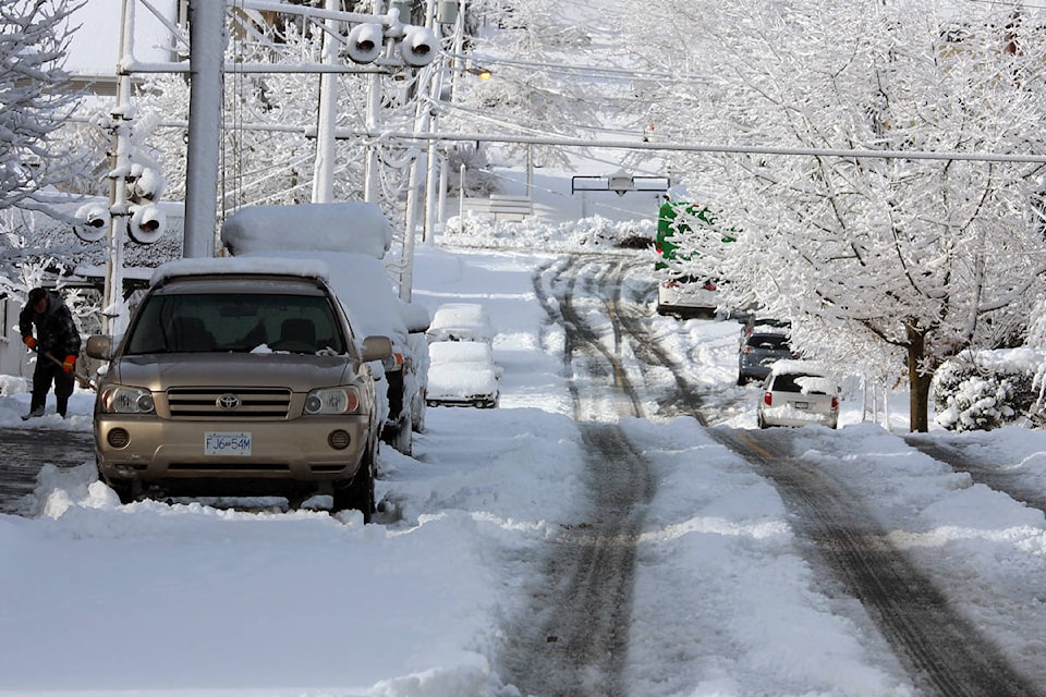
Although there were no snowfall records set in Kelowna with the 10 centimetres that fell, the southern interior was hit hard.
Areas toward the US border saw upwards of 15 to 25 centimetres and the the Coquihalla summit saw 35 to 40 cm accumulate as a system that crawled down the coast of B.C. focused a band of precipitation in that direction.
To report a typo, email: edit@kelownacapnews.com.
<>
kmichaels@kelownacapnews.com
Like us on Facebook and follow us on Twitter.