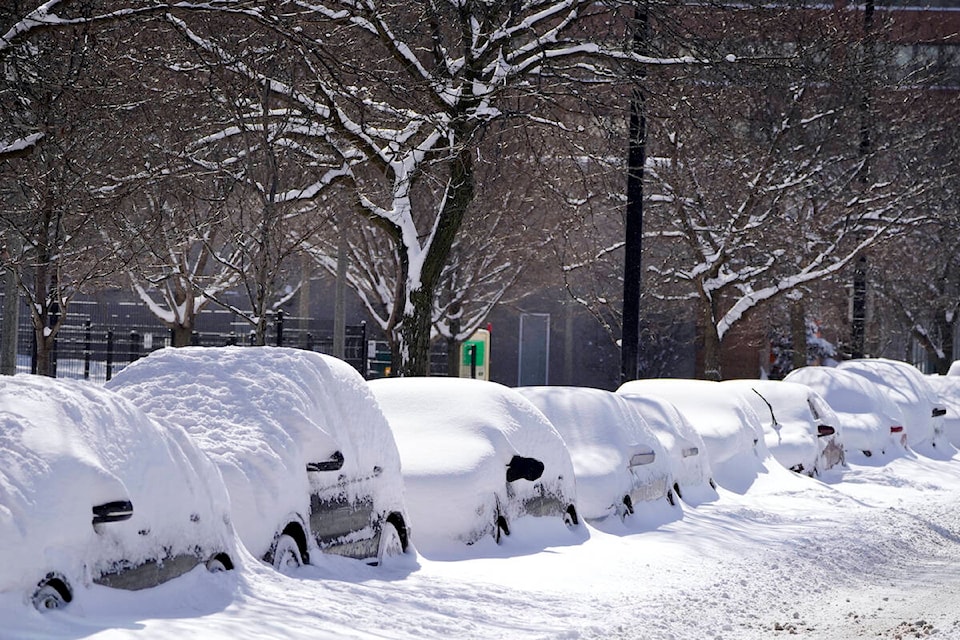
After an unseasonably warm start to the winter, Environment Canada has issued a snowfall warning for the Okanagan with heavy precipitation forecast for the week of Jan. 8.
Heavy periods of snowfall is expected intermittently from Monday Jan. 8 until the morning of Jan. 10. Snowfall is expected to be most significant overnight on Jan 8, before tapering off.
Environment Canada forecasts a dump of approximately 10cm of snow over the Shuswap, North Okanagan - including Vernon, Central Okanagan - including Kelowna, Westbank, Peachland, South Okanagan - including Osoyoos, Similkameen, Manning - Skagit Valley, Boundary and East Kootenay regions.
The government warns that rapidly accumulating snow could make travel difficult in some locations due to low visibility and deep snow.
READ MORE: Expected big dump of snow triggers travel advisories for B.C. highways
Highway alerts and winter storm warnings are in effect for the Coquihalla, Highway 3, the Connector between Kelowna and Merritt and the TransCanada Highway from Eagle Pass to Rogers Pass.
For more information on alerts and forecasts issued by Environment Canada visit weather.gc.ca, and Drivebc.ca.
Black Press Media spoke with meteorologist Armel Castelan from Environment Canada about the snowfall warnings and cold temperatures expected in weather alerts issued for Monday, January 8th.
Snowfall❄️Warning🌧️ Monday through Wednesday: check out the 'new' red clouds and mountains via https://t.co/MNovn5LekK for: #Cariboo #BCHwy97 #QuesnelBC #PrinceGeorgeBC 10 cm snow🏂, and#ArrowLakes #SlocanLake #WestKootenay #KootenayLake #ElkValley #BCHwy3 15-20 cm snow🛷. pic.twitter.com/jFcoaBGvB7
— DriveBC (@DriveBC) January 8, 2024