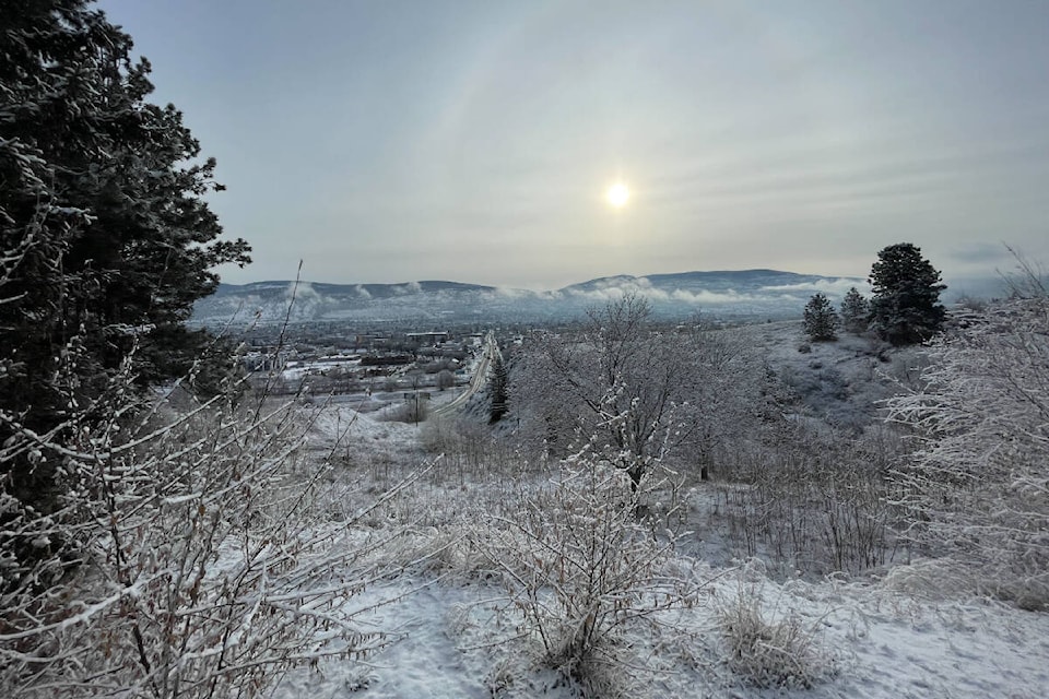
Are you tired of what feels like the longest winter ever in the Okanagan?
Environment Canada says not to fear, because the season’s turning point is near.
Following a dry and mild start to February in B.C.’s Interior, temperatures dropped 5 to 10 C below all-time averages to wrap up the cold and snowy month.
But arctic air patterns appear to be a thing of the past this winter.
The federal agency is instead calling for “cooler shifts” to start March and a turn for the warm by the time the middle of the month comes around.
“For the next seven days, we’re looking free and safe of any arctic outbreaks,” said Gary Dickinson, a meteorologist at Environment and Climate Change Canada. “Cooler conditions will linger, but once we get to the middle of the month, temperatures will closer to normal.”
On Feb. 22, communities across the Okanagan began to feel the arctic outbreak.
READ ALSO: Not quite time to put away those winter coats in the Okanagan
Starting Friday, March 3, daytime highs in Kelowna, Vernon and Penticton will stay anywhere between 5 and 7 C through the middle of the next week.
“We’re just slightly off what’s normal for this time of year, but nothing extreme,” Dickinson said. “If you keep winter coats on, you’ll be warm but I’d still hang on to them because it is a little chillier than normal.”
If you feel like it’s been a colder, longer winter compared to last year, you would be right.
On March 1, 2022, temperatures reached up to 10 C in Kelowna.
One year later, those across the region have been treated to periods of snow and temperatures as low as -2 C.
But the extreme weather seems to over.
“You can’t rule out the possibility of any snowfall for the month of March,” Dickinson said. “For the long-range forecast for March this year, though, it doesn’t look like we’re going to see anything extreme…that goes for all of B.C., too.”
