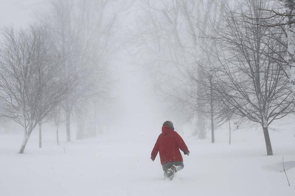
Heavy snowfall and winter storm warnings have been issued for the B.C. Interior.
Environment Canada says the Okanagan, Thompson, Columbia, Shuswap, and Fraser Valley regions will be affected by a frontal system, which is currently over the Gulf of Alaska, that will move across the Interior this weekend.
Snow will begin on Saturday, become heavy Saturday night, and will taper off to flurries Sunday morning before the system moves on.
Approximately 10 to 20 centimetres of snow is expected for the North Okanagan, including Vernon, and Shuswap regions, and 25 to 35 cm for Revelstoke, Clearwater, Barriere, and Malakwa. Between 10 and 30 cm of snow is expected for Hope, Chilliwack, and Abbotsford.
A winter storm warning is in effect for the Trans-Canada Highway, Eagle Pass to Rogers Pass, with heavy snow expected to create challenging driving conditions, and reduced visibility.
Motorists are encouraged to consider postponing non-essential travel until conditions improve.
Road conditions are available at DriveBC.
READ MORE: Snow in forecast for much of B.C. starting Friday in the north, then moving south
@GaryBarnes109
gary.barnes@kelownacapnews.com
Like us on Facebook and follow us on Twitter and subscribe to our daily and subscribe to our daily newsletter.